A two-day online training on Remote Sensing of Drought
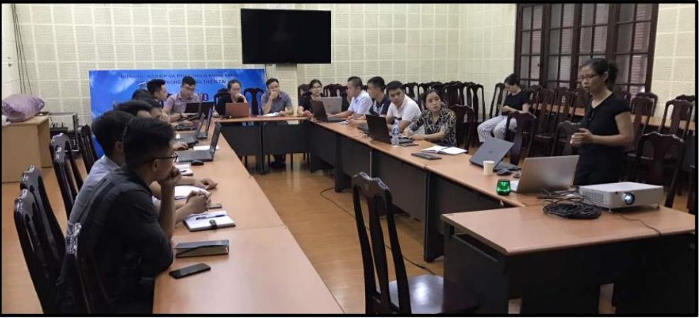
On 27th August and 3rd September, 2020, 25 participants from Institute of Water Resources Planning attended a two-day online training on Remote Sensing of Drought organized by SEVIR-Mekong and IWRP.
SERVIR-Mekong, a joint initiative of the U.S. Agency for International Development (USAID) and National Aeronautics and Space Administration (NASA), together with the Mekong River Commission (MRC) has been implementing a regional service on “Enhancing Drought Resilience and Crop Yield Security for the Lower Mekong”. The work has led to a regional integration of SERVIR-Mekong’s drought indices into the platform of MRC. To further achieve impact, the service has been scaled-up and replicated to address drought and food security issues in Vietnam.
Together with SERVIR-Mekong, NASA Jet Propulsion Laboratory (NASA-JPL) is implementing a project “Enhancement of the Regional Hydrologic Extreme Assessment System (RHEAS) Capabilities for Monitoring and Forecasting of Seasonal Rice Crop Productivity for the Lower Mekong Basin Countries.” The project is designed to make use of the latest satellite and rice modeling capability. Considering the needs from Vietnam’s agriculture sector and the fact that Vietnam is keen on innovative agricultural solutions, SERVIR-Mekong and NASA-JPL has proposed a pilot study in Vietnam to utilize satellite data and modeling to inform the agricultural sector of the consequences of drought on rice production. This will ensure that authorities are well informed and farmers are able to devise means to alleviate the impact before the occurrence of the drought event.
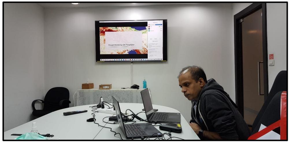
In this view, under the capacity development component of the ongoing project, SERVIR-Mekong plans to organize a series of training activities on drought and crop modeling for the benefit of the Institute of Water Resources Planning (IWRP). As the first set of training activity, SERVIR-Mekong organized a 2-day online training on Remote Sensing of Drought during 27 August 2020 (Day 1) and 3 September 2020 (Day 2). This course was trained by Mr. Susantha Jayasinghe and coordinated by Ms. Nguyen Hanh Quyen (PhD) from ADPC.
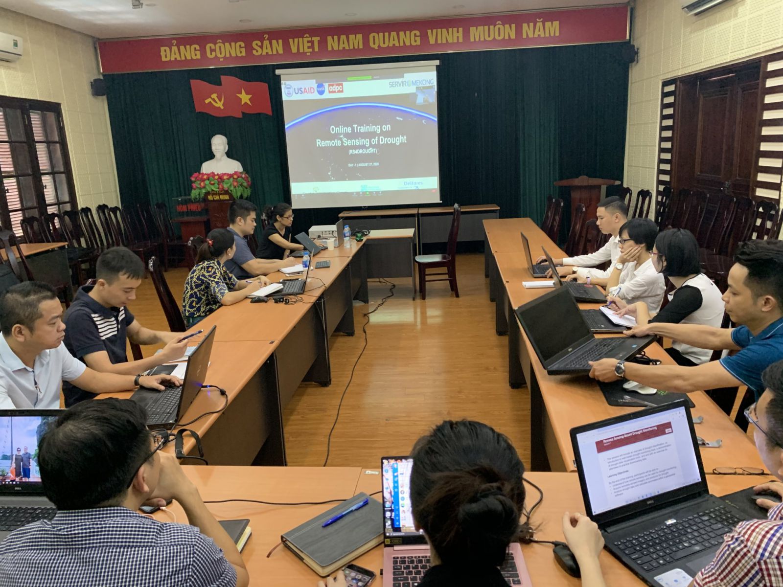
This online training session aims to provide a comprehensive understanding on use of remote sensing for drought monitoring and discuss the possible applications for water resource planning. It focused on providing participants with an overall understanding on how to monitor drought conditions and assess impacts on the ecosystem using precipitation, soil moisture, and vegetation data. It further provided an overview of drought classification, as well as an introduction to web-based tools for drought monitoring and visualization. Lectures were accompanied by hands-on demonstrations of data access and visualization.
This capacity development programme of SEVIR-Mekong/ ADPC can support for IWRP colleagues understand the importance of different remote sensing products for drought monitoring and visualization in water resources planning. IWRP expected a close cooperation activities with SEVIR-Mekong/ADPC soon in the future.
For more information, please contact: http@iwrp.gov.vn
- Proposing solutions for water diversion and water connection in the North Central Region in order to optimize the capacity of water storing, regulating and distributing to meet the requirements of socio-economic development
- New approach to online hydrodynamic modeling in flood and inundation forecasting at the Institute of Water Resources Planning
- Grassroots-level acceptance of the State-level scientific research project: "Proposing solutions to prevent flooding and inundation for Bui river basin and surrounding areas" coded DTDL.CN-16/20.
- Training on Real Water Savings in Agricultural Systems (REWAS)
- JST is to fund six research projects for the e-ASIA Joint Research Program in the fields of “Advanced Interdisciplinary Research towards Innovation (Water Resource Management)” and “Environment (Climate Change Impact on Natural and Human Systems)”
- Technological capacities
- Final workshop of the project “Integrated and Sustainable Management of Red – Thai Binh River System in a Changing Climate (IMRR)”
- Training series on Remote sensing for Land and Water management
- Seminar “Integrated water management in the Red River: remote sensing and modeling for optimal reservoir management” at the IWRP
- Mini-seminar between Institute of Water Resources Planning and Collecte Localisation Satellites Group (CLS), France.
- Water Accounting for Vietnam Project Workshop at ADB Office in Hanoi
- Seminar on Cooperative training program "Application of remote sensing in water resources management"
- Mekong River Commission trains facilitators on use of hydropower sustainability assessment tool
- Science PhD thesis: Quantifying the distribution of alluvial Mekong Delta: Present and Future.
- Scientific and technology studies