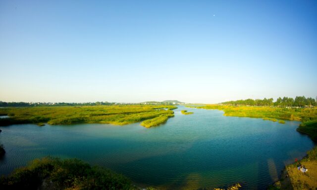
How Vegetation and Water Help Cool the Air
by Femke van Woesik (MetaMeta), Lan Thanh Ha (Researcher, Institute of Water Resources Planning (IWRP), Ministry of Agriculture and Environment ...
Read More
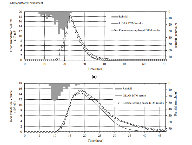
Application of topographic elevation data generated by remote sensing approaches to flood inundation analysis model
High-resolution topographic data are crucial for delta water management, such as hydrological modeling, inland food routing, etc. Nevertheless, the availability ...
Read More
Proposing adjustments to the dry season inter-reservoir operation rules of the Red River system to improve water use efficiency of the reservoirs
See full text https://www.scirp.org/journal/paperinformation.aspx?paperid=125370
Read More
New publication from IWRP on the application of remote sensing and spatial data to improve model’s simulations of eco-hydrological processes
A research paper titled “Calibration of Spatially Distributed Hydrological Processes and Model Parameters in SWAT Using Remote Sensing Data and an ...
Read More
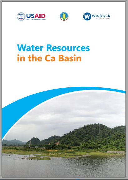
Water Resources in the Ca Basin
A team of authors consisting of Ha Thanh Lan from the Institute of Water Resources Planning (IWRP)-Ministry of Agriculture and ...
Read More
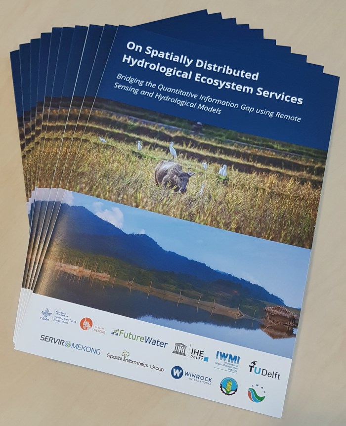
White paper published: On Spatially Distributed Hydrological Ecosystem Services Bridging the Quantitative Information Gap using Remote Sensing and Hydrological Models
The Institute of Water Resources Planning, together with FutureWater, Delft University of Technology, SERVIR Mekong, Winrock International, Spatial Informatics Group, IHE-Delft, ...
Read More